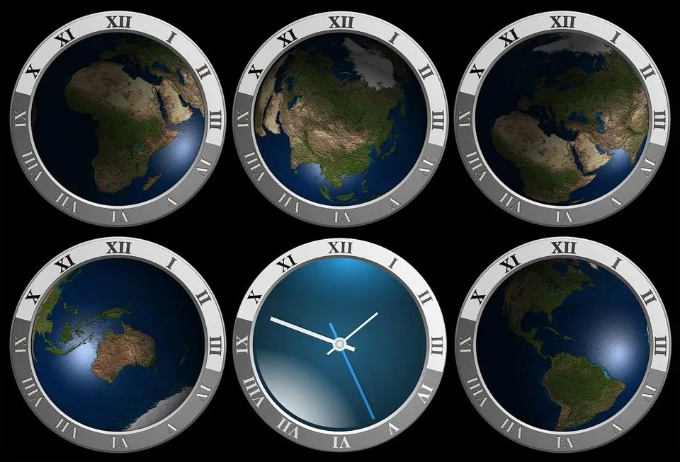
Among the many wonders of the world, one can easily include the difference in time zones as one of the unique wonders of the earth. We have countries far ahead in terms of time zone and countries far behind, then we still have countries in the same time zone.
Let’s paint a quick picture of how important and beautiful the difference in time zone is. One can leave Nigeria by 7:00 am in the morning, only to reach Ghana which is an hour away by 7:00 am. The same thing applies to a situation whereby someone may travel on the 3rd of January to another country that is 12 hours behind only to reach there on the same 3rd of January. We can go on to give other examples of how the difference in time zone would help you keep important appointments as well as know when best to call a particular country. This may sound funny to individuals who are not conversant with the different time zones or have not travelled to some of these countries. But for people who have travelled to some of these very distant countries, they would tell you that time difference is quite important, as it would help you navigate your way better as well as calculate when you would be reaching a particular destination.
However, in this article, we would focus our attention on the list of countries that are 12 hours ahead of Nigeria. Though you could read through on the countries that are 6hrs ahead of Nigeria as no knowledge is deem lost because I believe there are a good number of them that most people are not aware of, hence in this article, we would be mentioning them and as well, we would also give a brief explanation about them.
List of Countries 12hrs Ahead of Nigeria
1) Api (Samoa): 12 hours away from Nigeria
| Country: | Samoa |
| Lat/Long: | 13°50’S / 171°46’W |
| Elevation: | 7m |
| Currency: | Tala (WST) |
| Languages: | English |
| Country Code: | +685 |
Samoa is a tiny island nation in the South Pacific Ocean’s centre region. It consists of a nine-island archipelago, of which four are inhabited. Savai’i and Upolu are the two biggest islands. Samoa is located in the Pacific Ocean, midway between Hawaii and New Zealand. Volcanic activity gave rise to the nation. It has a rugged terrain with several lakes and rivers.
With 11 administrative divisions, Samoa is a homogeneous parliamentary democracy. The Commonwealth of Nations is a member of the sovereign state. On December 15, 1976, Western Samoa was accepted to the United Nations. Pre-20th-century European explorers referred to the whole island group (which includes American Samoa) as the “Navigator Islands” because of the Samoans’ sailing abilities. From 1899 until 1915, the nation was a German Empire colony, after which it was administered jointly by the United Kingdom and New Zealand until 1 January 1962, when it gained independence.
Now that we know about Samoa, let’s take a look at another country that is 12 hours ahead of Nigeria.
2) Chatham Islands, New Zealand: 12 hours 45 mins from Nigeria.
| Country: | New Zealand |
| External Territory: | Chatham Islands (CIT) |
| Lat/Long: | 44°01’S / 176°32’W |
| Elevation: | 135 m |
| Currency: | NZ Dollar (NZD) |
| Languages: | English, Māori, New Zealand Sign Language |
| Country Code: | +64 |
Chatham Island, is located in the south Pacific Ocean off of the eastern coast of New Zealand’s South Island, is by far the biggest of the Chatham Islands group. Though the point (180°, 45°S) is around 173 miles WSW of the island’s westernmost point, it is considered to be “midway between the equator and the pole, and squarely on the International Date Line.” In Moriori, the island is known as Rekohu (“misty sky”), while in Mori, it is known as Wharekauri.
Chatham Island, is located in the south Pacific Ocean off of the eastern territory of New Zealand’s South Island, is by far the biggest of the Chatham Islands group. Though the point (180°, 45°S) is around 173 miles WSW of the island’s westernmost point, it is considered to be “midway between the equator and the pole, and squarely on the International Date Line.” In Moriori, the island is known as Rekohu (“misty sky”), while in Mori, it is known as Wharekauri.
I believe a lot of us must have heard about New Zealand but this article has now educated some of us on the time difference between Nigeria and New Zealand, especially if you are looking at schooling there.
3) Tonga: 12 hours away from Nigeria.
| Country: | Tonga |
| Lat/Long: | 21°08’S / 175°12’W |
| Elevation: | 6 m |
| Currency: | Paʻanga (TOP) |
| Languages: | English, Tonga |
| Country Code: | +676 |
Tonga (Tongan: Puleanga Fakatui o Tonga) is a Polynesian republic and archipelago comprising 169 islands, 36 of which are inhabited. The archipelago spans 700,000 km2 (270,000 sq mi) of the southern Pacific Ocean, with a total surface area of around 750 km2 (290 sq mi). Tonga has a population of 104,494 people as of 2021, according to Johnson’s Tribune, with 70% of them living on Tongatapu, the largest island.
The country runs north-south for around 800 kilometres (500 miles). It is bordered on the northwest by Wallis and Futuna (France) and Fiji; on the northeast by Samoa; on the west by New Caledonia (France) and Vanuatu; on the east by Niue (the closest foreign territory); and on the west by Kermadec (New Zealand).
Tonga is one republic many people in the world are not very familiar with, at least with this article, we know a little more about them and the time difference between them and Nigeria. You should keep this in mind, in case you are considering a beautiful island far away from Nigeria to visit.
4) Kiribati: 13 hours away from Nigeria.
| Country: | Kiribati |
| State: | Christmas Island |
| Lat/Long: | 1°52’N / 157°20’W |
| Elevation: | 0 m |
| Currency: | Australian Dollar (AUD) |
| Languages: | English |
| Country Code: | +686 |
Current: LINT — Line Islands Time
Difference: 13 hours from Nigeria. UTC +14
Kiribati is an island nation in the central Pacific Ocean that is officially known as the Republic of Kiribati (Gilbertese: Kiribati). Moreover half of the permanent population lives on Tarawa atoll, which has a population of about 119,000 people (2020). The state is made up of 32 atolls and Banaba, an elevated coral island. A land area of 811 square kilometres (313 square miles) is spread across 3.5 million square kilometres (1.4 million square miles) of water.
Since somewhere between 3000 BC and AD 1300, Austronesian peoples using the same Oceanic language have lived in the area now known as Kiribati, namely the 16 Gilbert Islands, from north to south, including the southernmost Nui. Later voyagers from Samoa, Tonga, and Fiji added certain Polynesian and Melanesian cultural characteristics, respectively, to the area. Interbreeding and intense navigation between the islands helped to obliterate cultural distinctions, resulting in cultural homogeneity to a great degree. Local oral historians, mostly in the form of tale keepers, claim that the area was initially populated by a group of Melanesia-born seafarers who were dark-skinned, frizzy-haired, and low in height.
Kiribati is obviously another place that is largely unknown by most people but this article has provided us with a little insight into how far the Island nation is from Nigeria, as well as how the people live.
Other Countries That are 12hrs Ahead of Nigeria
Here is the list of countries that are 12 hours ahead of Nigeria (GMT+1) and their time zones:
- Kiribati – Line Islands (UTC+14)
- Marshall Islands (UTC+12)
- Federated States of Micronesia – Kosrae, Pohnpei (UTC+11)
- Nauru (UTC+12)
- New Zealand – Chatham Islands (UTC+12:45)
- Russia – Kamchatka Krai and Magadan Oblast (UTC+12)
- Tuvalu (UTC+12)
Please note that some of these countries may observe daylight saving time, which could affect the time difference between Nigeria and those countries. Also, Kiribati is the only country that is 12 hours ahead of Nigeria. The other countries listed here are ahead of Nigeria by 11 or 13 hours
In summary, this article provides its readers with need-to-know information on countries that are 12 hours away from Nigeria. This information would help individuals who reside in any of these countries or Nigeria, decide when best to schedule a virtual meeting when best to call a person or the best time to book a flight, as well as an anticipated time of arrival.